Mapping for Informed Decision Making in Rwanda
Mapping and Geographic Information System (GIS) have long been used in Rwanda for sectors such as agriculture and economic growth. The need for these innovative tools and skills, however, are just now being recognized in other fields, including health. As a monitoring and evaluation expert, I have seen how useful geography and maps can be to monitor and improve programs, and I was interested to learn more about how they were being used and enhanced in the field.
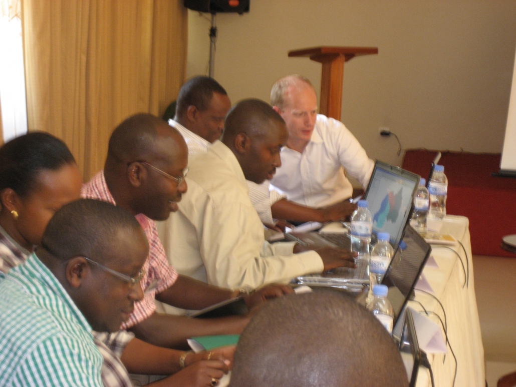
For four days, I joined 18 public health professionals at a GIS training in Kigali, Rwanda, organized by MEASURE Evaluation and Monitoring and Evaluation Management Systems (MEMS) and supported by USAID in collaboration with National AIDS Control Commission (CNLS ). The participants represented many local Rwandan organizations such as MEMS, the Ministry of Health, the Center for Treatment and Research on AIDS, Malaria, Tuberculosis and Other Epidemics (TRAC Plus), and National University of Rwanda’s School of Public Health.

GIS is a unique tool that allows people to interact with their data. Rather than comparing data in charts or graphs, mapping data through geography allows data users to identify essential trends and associations that may not be apparent in other formats. By building local capacity in GIS, we are expanding “evidence-based decision making” for high quality and strategic health programs.
There was a lot of enthusiasm during the training about GIS. The training provided an excellent forum for the participants to talk about innovative ways they are already using the GIS tool. Participants discussed plans to create new programs that would allow for better ownership and monitoring, to improve supply chain management, and to integrate services, all things that will support and enhance the projects that USAID and its partners are implementing.
MEASURE Evaluation trainers, Andrew Inglis and Clara Burgert, introduced the concept of GIS maps and their ability to link to a database that is capable of capturing, storing, querying, analyzing, displaying and outputting data. In addition to teaching concepts such as how to interpret maps and how to effectively use spatial data, the training provided participants an excellent opportunity to gain practical experience.
Prior to the training, data was collected from each of the representing organizations so they could to make a map during the training and present to the group. All the participants also left with qGIS, an excellent free mapping tool, giving them something to work with as they began to hone their new skills and build their organizational capacity.
Andrew Inglis is a firm believer building capacity through the use of geographic and spatial data for program planning, implementation, monitoring, evaluation and advocacy. He explained, “The goal of capacity building is to turn potential into reality. During the January 2011 stakeholders meeting the potential value of GIS towards evaluation of HIV prevention programs were recognized, however, the lack of capacity within the national institutions is a major barrier. The aim of the capacity building is to start to realize this potential and reduce the capacity barrier to the use of GIS within national institutions.”
After the training, MEASURE Evaluation wrapped up the week with an Open Forum, hosted by the CNLS, inviting participants and other stakeholders to discuss how best to put these newly acquired skills to use. The goal was to create linkages between the HIV/AIDS and health sectors (and other related sectors) and to promote the sharing and use of data linked to geography in Rwanda. It was energizing to be there, discussing with Rwandan colleagues how they can use GIS and mapping tools to connect better with each other, improve the way they plan, implement and monitor health services, and ultimately improve the health outcomes in their country.
As Solomon Kununka, Management Information Systems Specialist from MEMS, put it, “This has initiated me into the GIS community. Now I want even more training. But, I have the basics. I can make maps for my supervisor and me, to be used for decision making.”


")
")
")
")
")
")
")
")
")
")
")


